“Guess what they write!” exclaims David in disbelief. “They say ‘Well, you might have to rely on paper charts’!!”
“Really?” I lean in, looking over his shoulder at the computer screen. “That’s a bit odd for someone selling electronic charts. Kinda undermines their business model. How can they say that?”
“And look here,” he continues, his voice rising, his face turning red. “The guy writes that ‘our IT Department probably has more important things to do than helping you’!! Yes, I guess everything would be more important than helping a customer!!!”
I scroll through the strand of online messages – a long conversation filling up several screen-lengths.
“So what will we do?” I ask. “I mean, we can’t go without charts?”
David has been trying to download new charts for our GARMIN chart plotter for several days. We’re leaving Vanuatu and need charts for our upcoming destinations. He has purchased the charts but is having problems downloading them, because GARMIN won’t recognise our account with them. Even though we’ve bought charts with them before. They maintain that our chart plotter is registered to someone else, and insist on checking with this individual before allowing us to download the charts.
To try and speed up the process, David has been having online conversations with their Helpdesk via a chat function. He’s been trying to impress upon them that we are about to head offshore and that it would be great to have some charts for the journey. Only it seems they are not very interested in helping out.
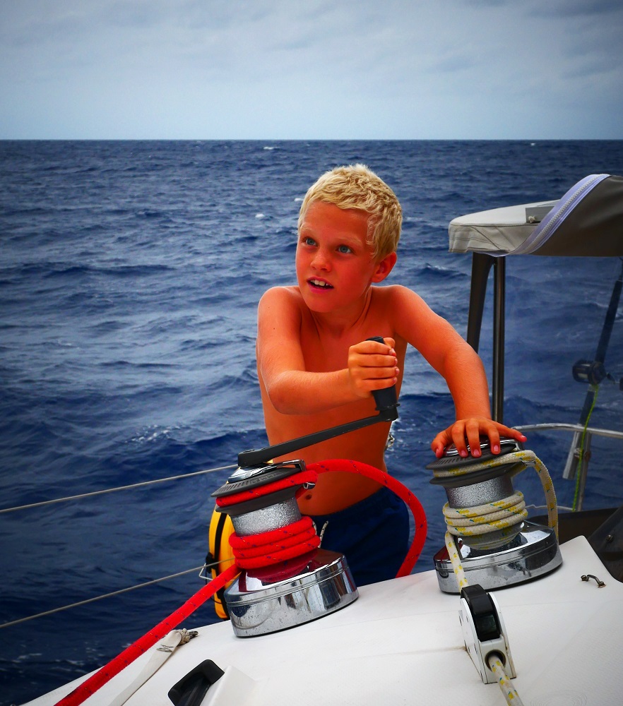
Vanuatu has 83 islands and on this visit, we managed to visit seven, including some smaller islands that we kited from. It is not enough, but the cyclone season is drawing nigh, and head north we must.
Officially, the South Pacific cyclone season starts in November, which means that prudent sailors want to be out of here by the end of October. Cyclones are related to sea surface water temperature; when surface temperatures are higher than 26°C, cyclones can form. (Basically, the sea surface temperature is what powers the storm.) As you move closer to the equator the risk decreases because the Coriolis force (an effect caused by the spinning of the Earth) is too weak to allow a weather system to start spinning up. Cyclones are defined according to wind speed, and wind speeds are unlikely to get to cyclone level at the equator where there is minimal spin.
The weather has been behaving weirdly this year. Last week, Cyclone Liua hit the Solomon Islands just north of here and just south of 10°S. It is almost unheard of to have a cyclone in September, but the sea surface temperatures were abnormally high, and so it developed. The Ni-Vanuatu are justifiably on the alert, fearing a long and bad cyclone season ahead. Civil warnings are distributed effectively via the mobile network here, so anyone with a phone receives free notices of storms, earthquakes, tsunamis and suchlike.

Our insurance stipulates that we must be out of the cyclone belt by 1 November. The equatorial band between 10 degrees north and 10 degrees south is considered safe, and so we need to make our way there.
Our plan is to head west and somewhat north. From Vanuatu, we will embark on a long trip westward to Indonesia via the Torres Strait. The distance from Vanuatu to the Kai Islands (south of the western end of Papua) where we will check in to Indonesia is about 1800 nautical miles. When sailing, we travel roughly as fast as a fit runner can run, with average speeds of about 11-15 km per hour. In a typical 24-hour day passage day we cover 150-200 nautical miles (280-370 km), so sailing 1800 nautical miles straight would take us 9-12 days.
However, long passages are hard work. The necessary night watches interrupt sleep and weather forecasts get less reliable the longer the forecast horizon, which means that what looks like a good window to sail in could turn bad as the weather keeps changing ahead. We like both sleep and remote locations, so we’ve decided to spend up to six weeks getting to Indonesia, stopping at select spots on the way to break up the journey, get some sleep, update our weather routing, and see some cool spots.
Our first stop will be at Indispensable Reefs, a landless reef system consisting of three atolls enclosing lagoons we can anchor in about 450 nautical miles north west of Vanuatu. It will take us about three days to get there.
From Indispensable Reefs we will continue to Port Moresby on the Papuan mainland via the Louisiade Archipelago of outer Papua New Guinea. The trip from Indispensable Reefs to the Louisiades is about 450 nautical miles (three days), and from the Louisiades to Port Moresby about 350 nautical miles (two to three days).
In Port Moresby, we will await a suitable weather window to manoeuver through the Torres Strait. The passage through will be tricky. The Strait is shallow (7-15 m) and narrow and has a busy shipping channel running through it. It is ravaged by strong tidal currents and bordered by treacherous coral reefs to the north and south. Given the abundance of potential hazards, we will need a good weather forecast for this bit of the trip and stopping in a marina in Port Moresby allows us to be as well prepared and rested as possible. We also need to stop in Port Moresby to get our Indonesian visas at the embassy there.

It is a long trip and we’re anticipating it with excitement. Any passage is demanding, involving as they do days of seasickness, interrupted sleep, constant motion and no opportunity to get off the boat. But ahead lies the Indo-Pacific region, oceans that Bob has never sailed, areas of exciting culture and amazing wildlife. The trip getting there will bring us to some of the remotest parts of the world, places visited by just a handful of people. The small hops we’ve planned will break up the journey and give us time to rest and enjoy places so far off the beaten track that they can only be reached by boat. Traversing the Torres Strait is going to be demanding, requiring careful planning and fortuitous weather, but with the scheduled stop at Port Moresby, we will be able to approach it with a solid weather forecast and rested crew.
Cruising the South Pacific has been amazing, and we feel fortunate we have been able to see so much. Now it is time for new shores, and we’re looking forward to all that they will bring.
One thing for certain, without charts the trip will be full of surprises…
“So what do you want to do?” I ask. “We’ve checked out now, have a perfect weather window – we almost have to go. Can we get by on the Navionic charts?”
David looks at the screen, frowning. “Well, that and paper charts, I guess,” he says, sighing deeply.
The Navionic charts for the region are fine, the only inconvenience is that we have to display them on a tablet instead of the main chart plotter. We’ll head off tomorrow morning and leave the GARMIN guy to try and persuade his IT colleagues to reset our account. By the time we reach some internet in Port Moresby we hope they will have sorted it out. Although GARMIN does have a pretty lousy track record – their online approval rating is one star out of five, and most reviews go something like ‘I will NEVER purchase a GARMIN product again. Their customer service is non-existent!’ etc. And if they don’t sort it out, we’ll just have to try again with them once we get internet.
We are unlikely to have much internet until we reach Port Moresby about four weeks from now. But we will keep in touch with family and friends via our satellite email.


